 English
  Arabic
  Türkçe
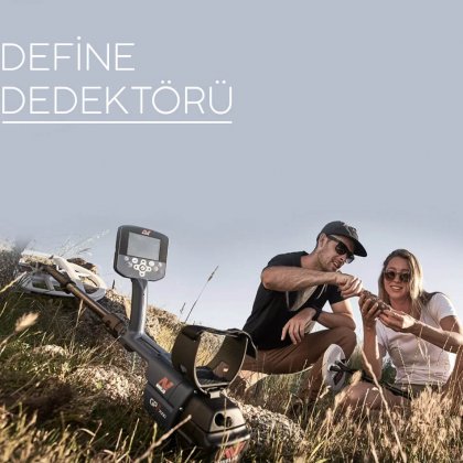


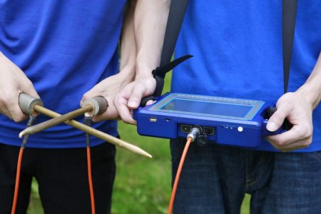


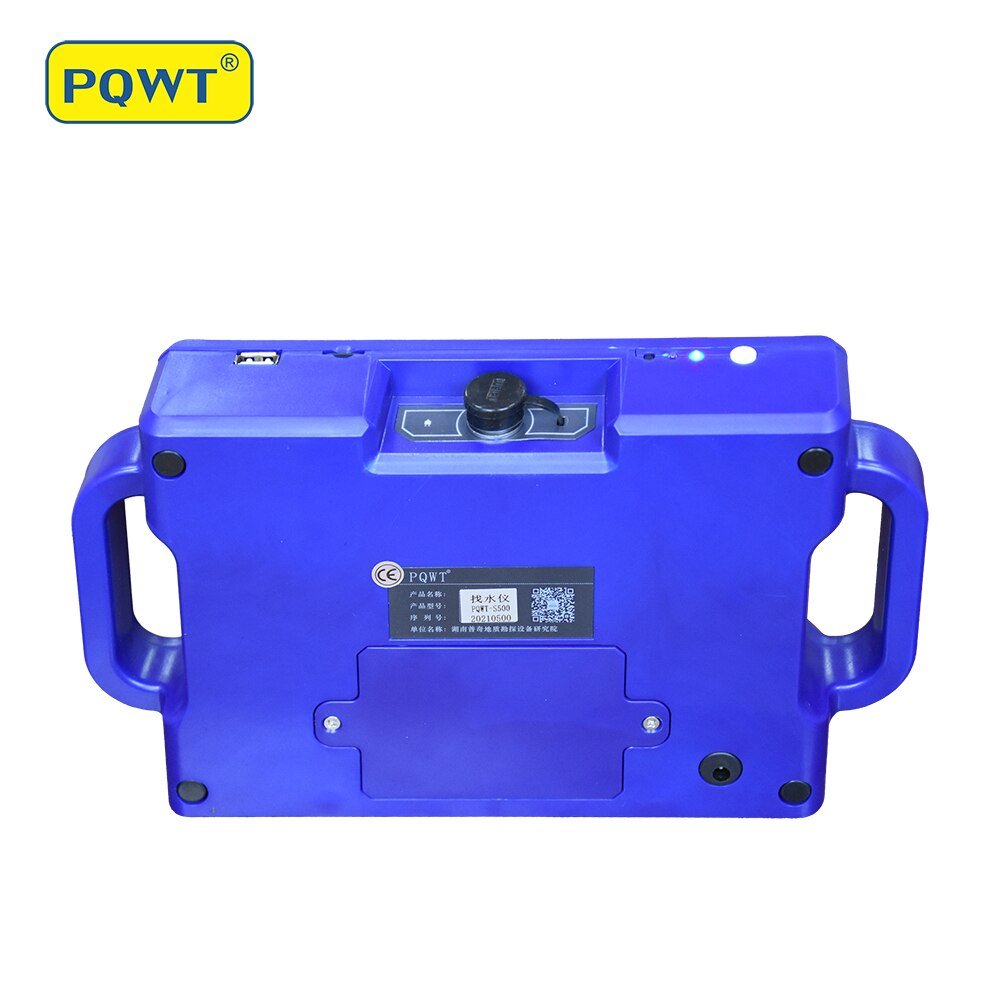
PQWT-S500 underground water detector is the use of natural soil field source, without going through artificial field, removed from the cumbersome power supply system to achieve simple, light. After data collection, instrument through unique built-in computing functions to achieve automatic presentation graph, the collected data can also be transferred to a computer drawing and formed a cross-section view, the geological layer structure can be clearly determined. rock frame, karst cave, aquifer etc.
Main Features
1. Plain, hill, mountainous land, plateau, basin to be suitable for all kinds of geological structure applications;
2. Get result of automatic mapping, drilling position and depth in the field on the instrument.
3. Professional user group provides 24 hours after-sales service.
4. Average accuracy from user feedback is more than 90%.
5. Four languages are optional, including English/Spanish/French/Arabic.
6. It is widely used for potable water, agricultural irrigation water detection.
7. Non-professionals can learn how to operate within 5 minutes.
8. Only 1-2 people can work.
This device can automatically generate curve chart and profile map with one button after recording data is completed, no need to transfer data to computer for plot mapping.
Technical parameters
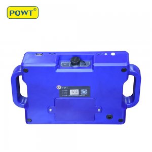
Measurement Depth: 500 meters; 300 meters; 150 meters
Measuring Range: 0mV-2000mV, instrument automatic conversion range
Measurement Accuracy: 0.001mV
Measurement Channel: 8
Measurement Frequency: Profile survey
Measuring Frequency: 500 meters is 56 frequencies; 300 meters is 40 frequencies; 150 meters is 36 frequency
A/D Conversion: 12-bit 1Msps
Input Impedance: >=10M?
Power Source: #26650*2, DC12V 4000mAh Built-in Battery
Power Consumption: About 4W
Operating Temperature: -20 Degree C ~ 50 Degree C
Relative Humidity: <= 85%
| Shipping Cost |
|
| Delivery Time | Ready to ship in 1 Business Day |
| Shop Location | Istanbul, Turkey |
No comments found for this product. Be the first to comment!